DESCRIPTION
This massive lithograph makes a huge statement in any room. Made in 1853 by the well-known cartographer J.M. Atwood, this huge map of the United States is stunning on multiple levels and shows how the states stood at the time – those of Texas, the East coast, and Midwest are familiar, followed by large chunks of land not yet divided into the states of the West we know today.
Surrounded on all four sides by impressively detailed illustrations, this bold & beautiful map rolls up like a banner for easy shipping, but already has the hooks on the back for quick hanging.
DETAILS & MEASUREMENTS
Measures 28" x 39.5"
In good condition with some wear from age
Covered in detailed illustrations
Lithograph from engraving by J.M. Atwood, New York
Professionally conserved and lined with new linen and with original rollers

 Image 1 of 31
 Image 2 of 31
 Image 3 of 31
 Image 4 of 31
 Image 5 of 31
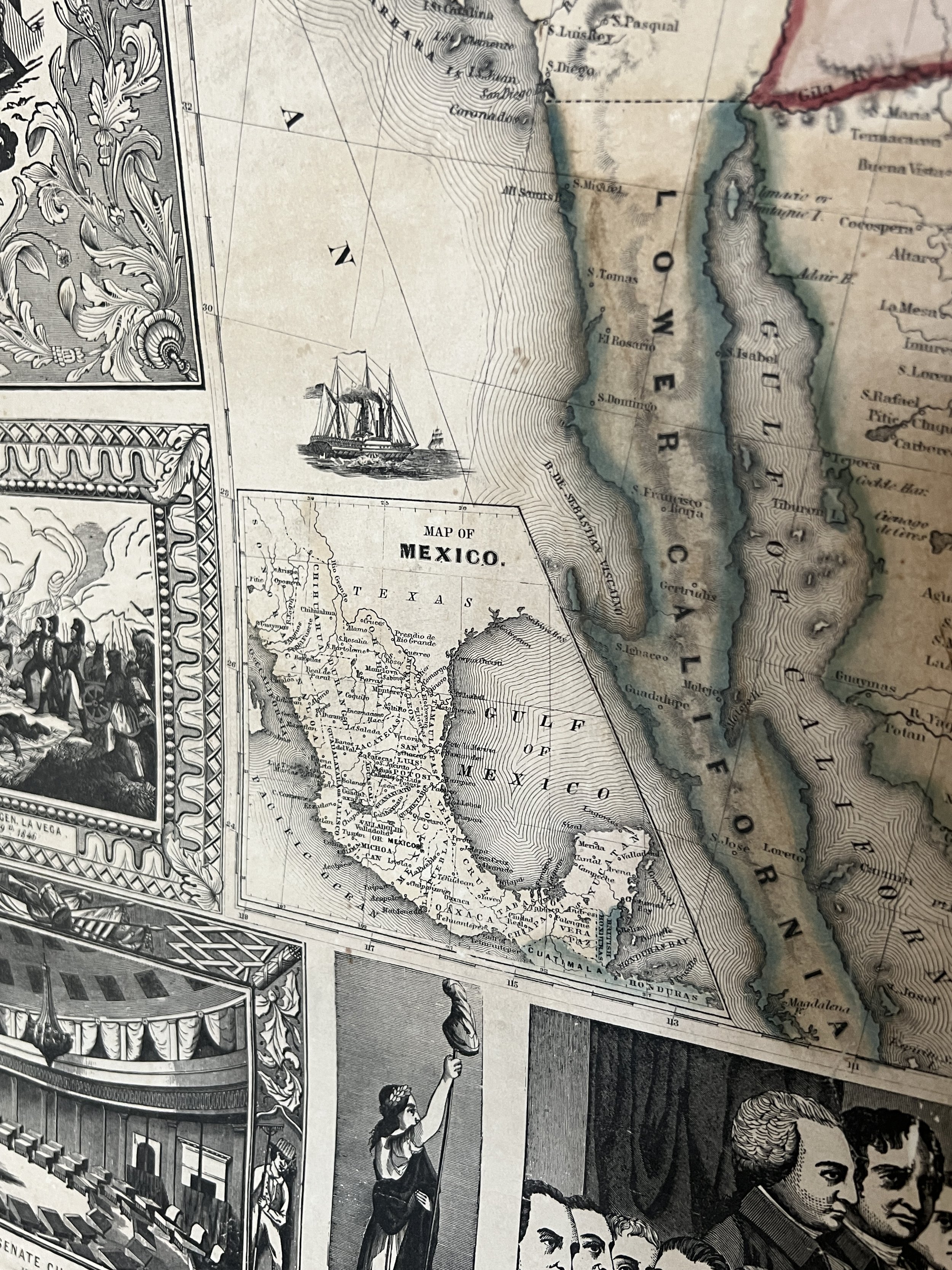 Image 6 of 31
 Image 7 of 31
 Image 8 of 31
 Image 9 of 31
 Image 10 of 31
 Image 11 of 31
 Image 12 of 31
 Image 13 of 31
 Image 14 of 31
 Image 15 of 31
 Image 16 of 31
 Image 17 of 31
 Image 18 of 31
 Image 19 of 31
 Image 20 of 31
 Image 21 of 31
 Image 22 of 31
 Image 23 of 31
 Image 24 of 31
 Image 25 of 31
 Image 26 of 31
 Image 27 of 31
 Image 28 of 31
 Image 29 of 31
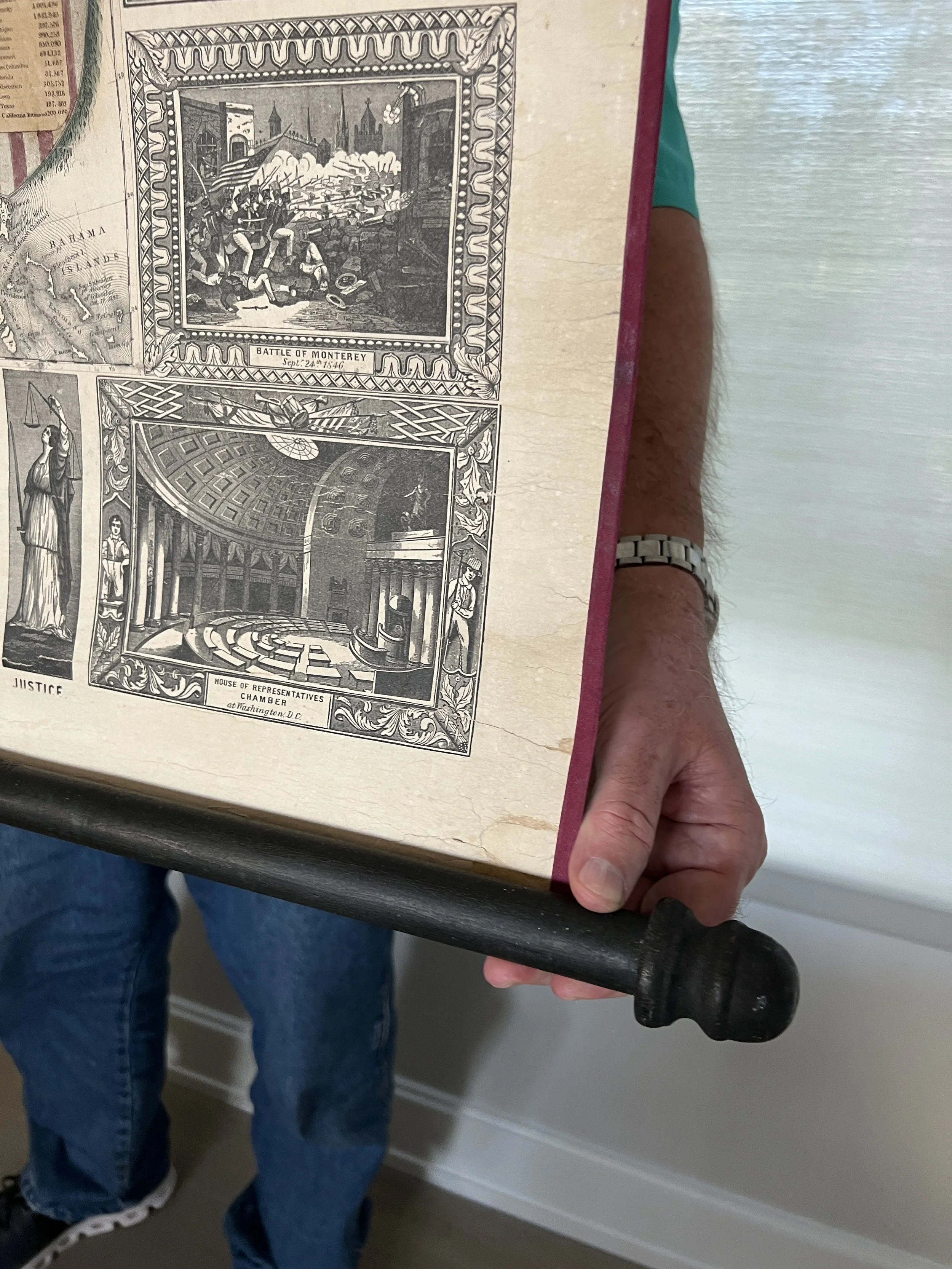 Image 30 of 31
 Image 31 of 31