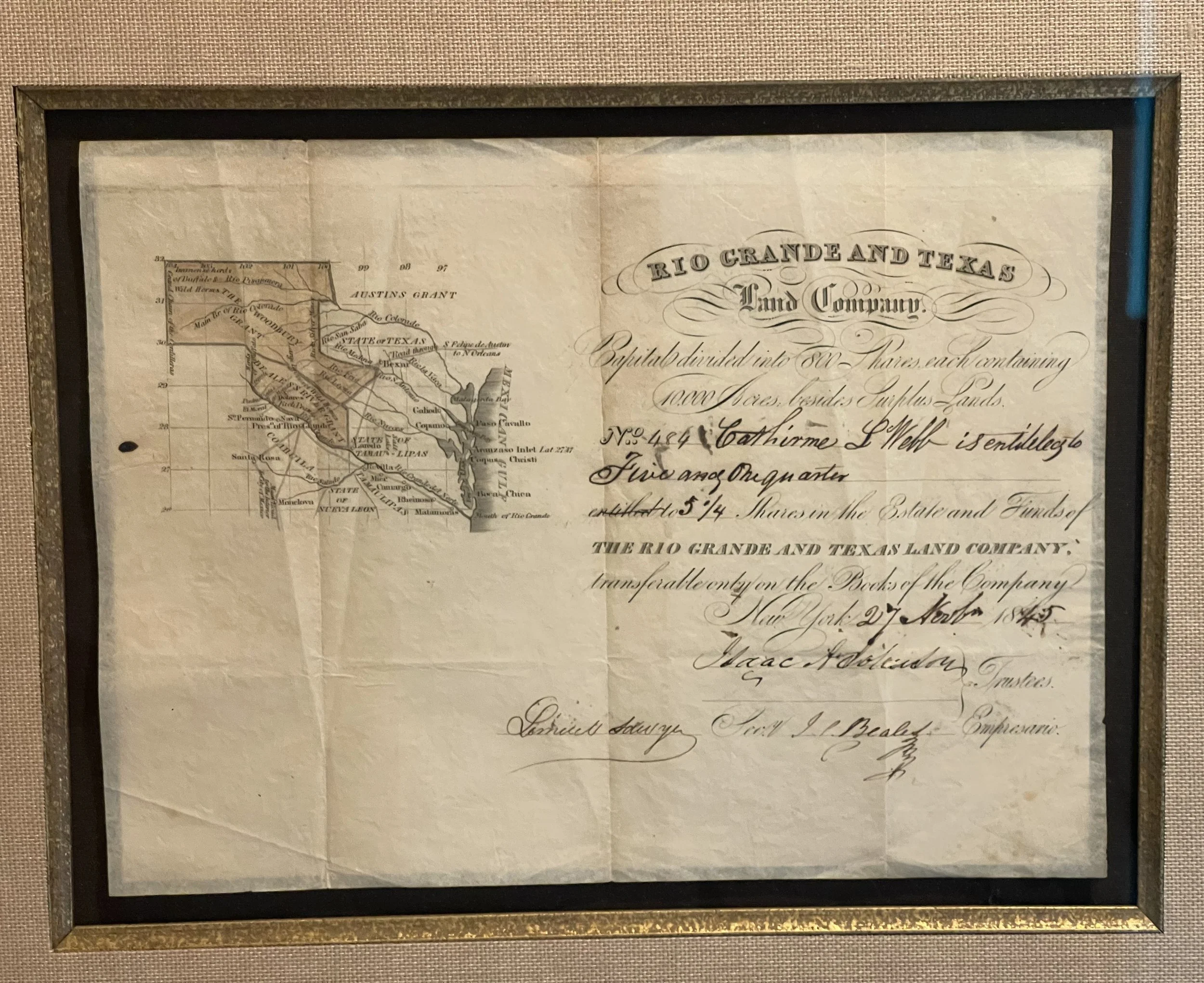
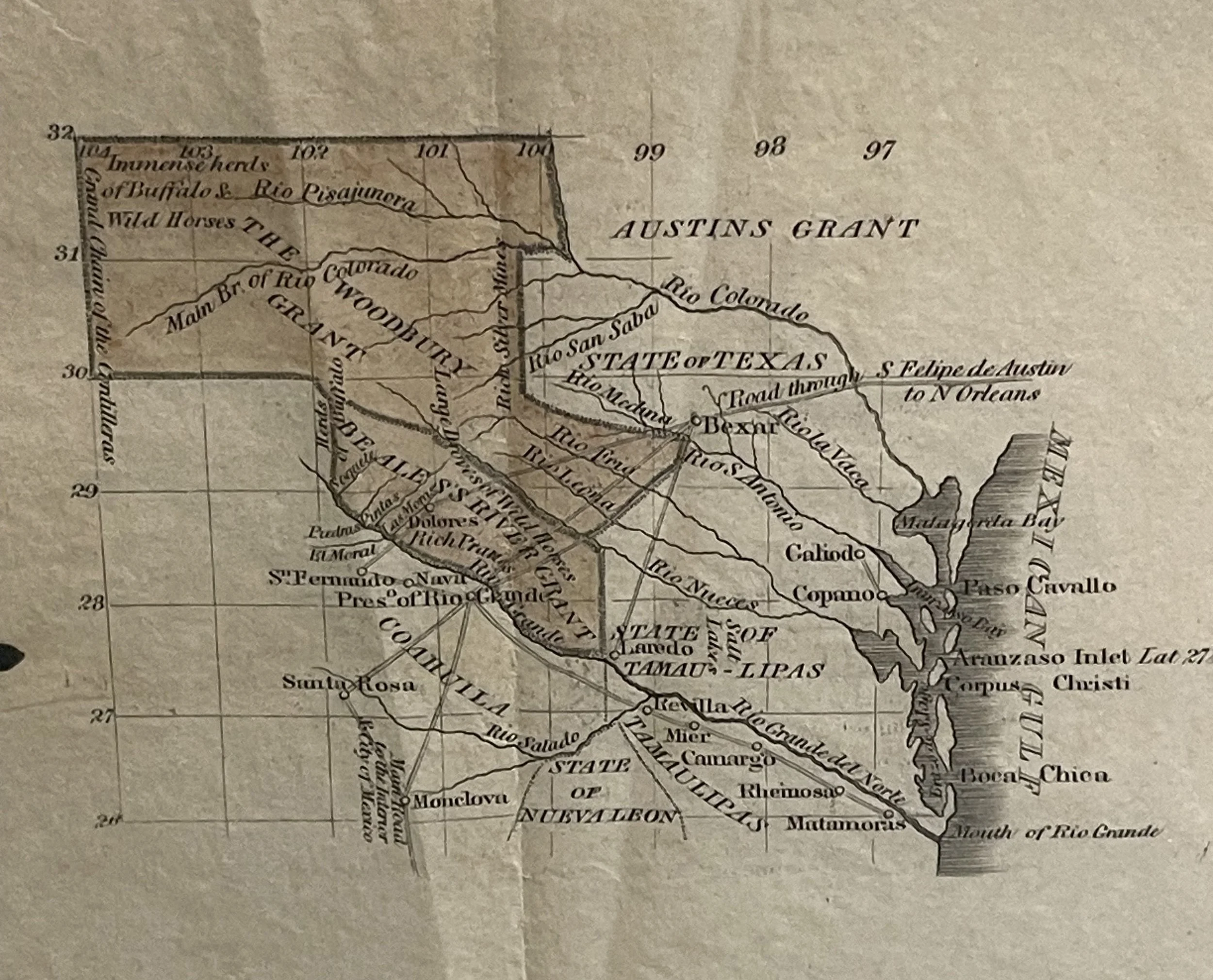
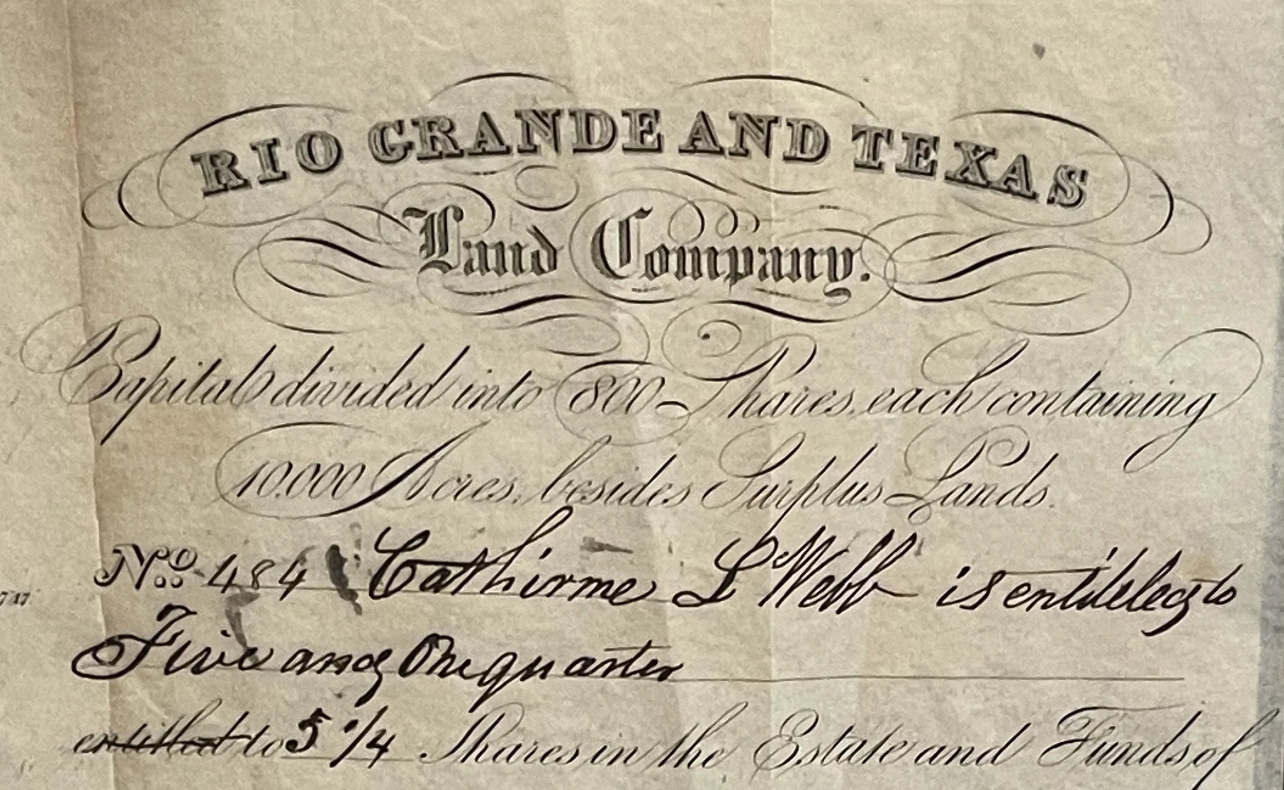
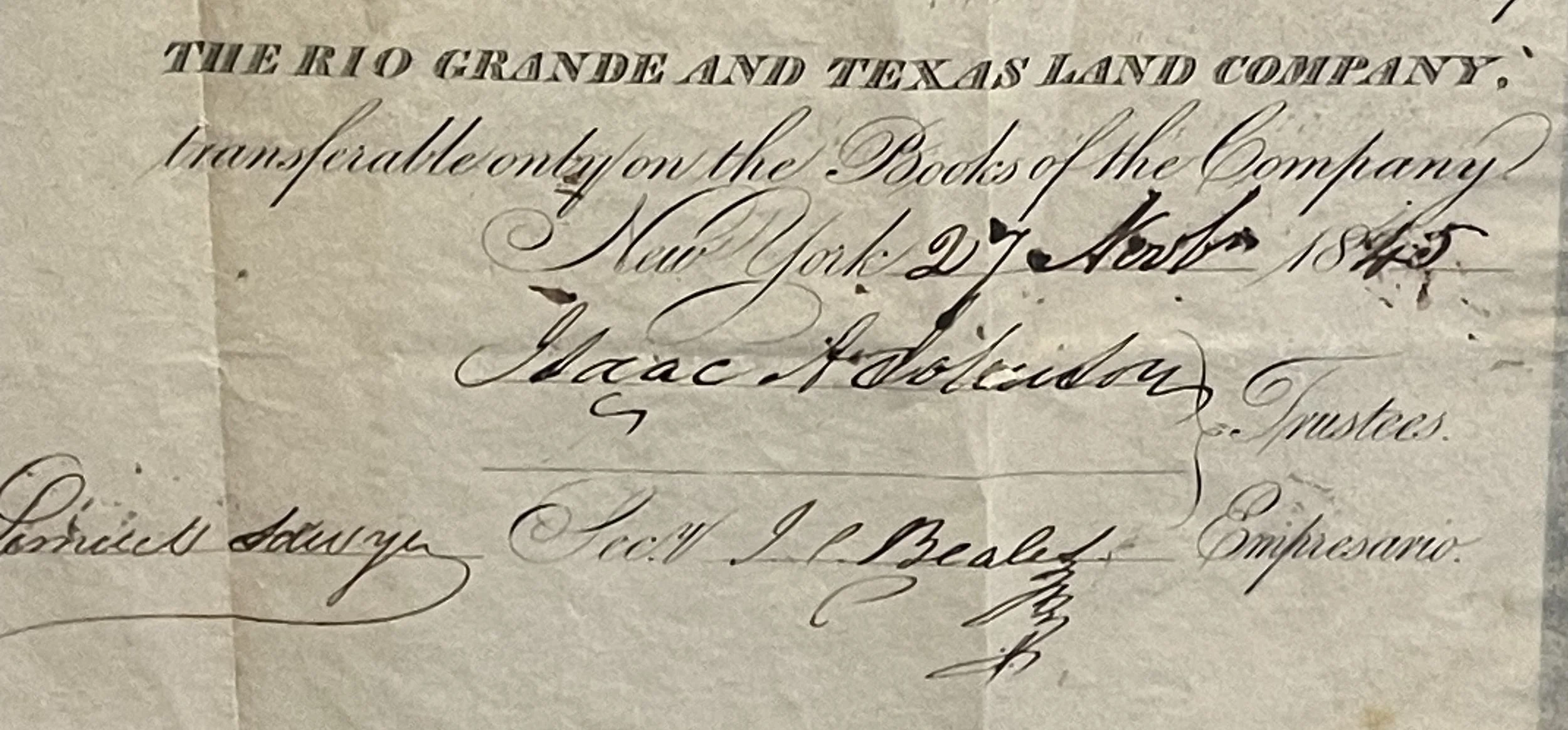
Image 1 of 8
 Image 2 of 8
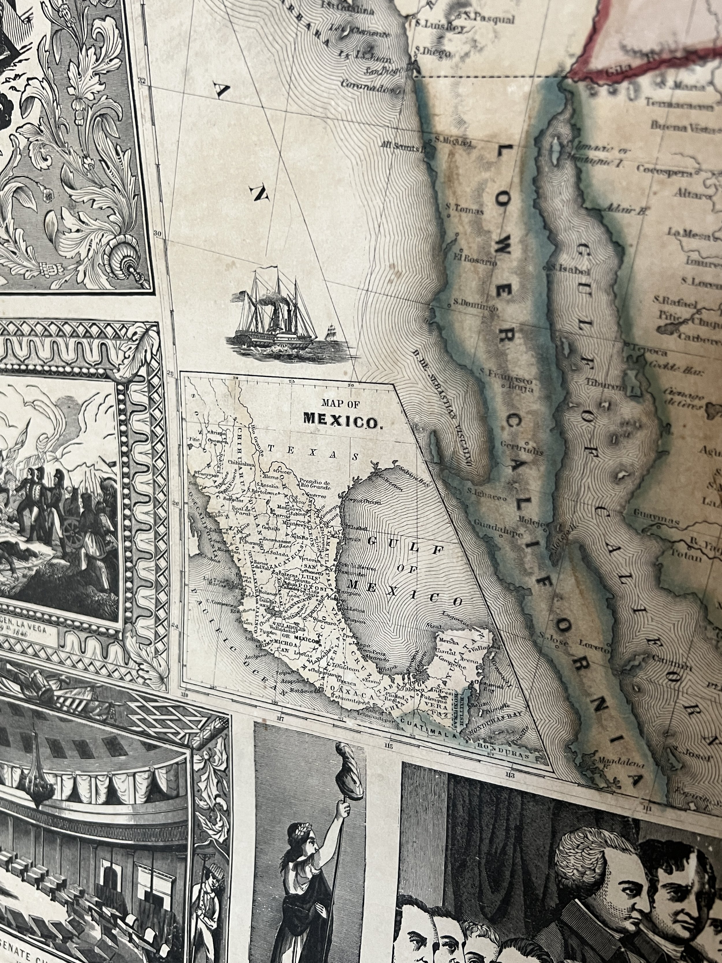
 Image 3 of 8
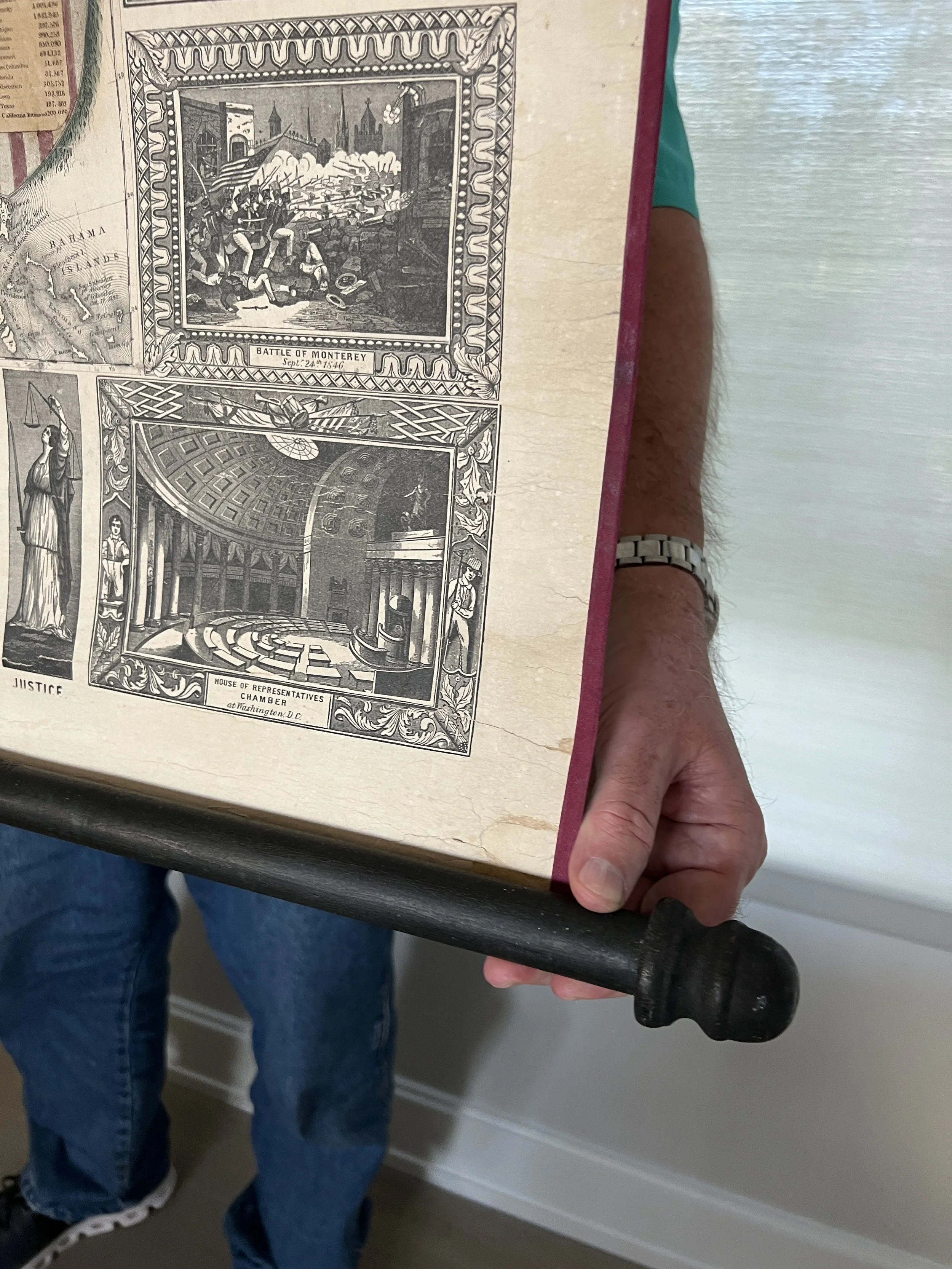
 Image 4 of 8
 Image 5 of 8
 Image 6 of 8
 Image 7 of 8
 Image 8 of 8
➼ History & Context
Fewer than 10 years after Texas became a state, the US initiated coastal surveys of the lands along the Gulf of Mexico. In 1853, the United States Army Corps of Engineers studied the possibility of a deepwater port at the harbor of Aransas Pass, which would have allowed much larger and deeper-hulled ships to dock.
When Congress authorized the work to deepen the harbor in 1879, the nationwide publicity brought interest from across the country and instigated a building boom in the town. A shiny new Terminal Railroad to link up with the mainland started construction in 1891, and the notable three-story Hoyt Hotel was built in 1893 to impress as well as accommodate.
Sadly the panic of 1893 dried up funds, and by 1899 the channel project was turned over to the Army Corps of Engineers, and they eventually installed a second jetty in 1907 and the deepwater channel was finally brought to Harbor Island.